Wednesday, 29 January 2014

Day 12 & 13 - Australian Alps Walking track

Just to give everyone some insight into how I prepare for these blog posts.  I first get my iphoto account open to the photos of the days I'm about to write about and open up John Chapman's Trail book to the appropriate maps.  I then ready my journal.  I just laughed myself silly ready todays journal entries.  Sometime sin my journal I would just write pearls of wisdom that have come to me throughout the day or week.  Todays journal pearl is such;

Just cause I don't know where I am doesn't mean I'm lost!


So this morning on Johnnies Top it is raining but at least the howling winds have calmed down.   The walk down off Johnnies Top is all 4X4 tracks which are easy to follow.  You then climb down to Morass Creek.  A series of river crossing which are a little challenging when the water level is up, it turns a couple of crossings into one marshy boggy water crossing.  Lovely the scenery through this area though with a great waterfall and overall great landscapes.


Once I have climbed back out you eventually come out at the Fraser Tablelands.  This is some of the most beautiful farmland I have ever seen.  Walking the roads around the tablelands isn't the most exciting but you can find plenty of little pearls to entertain your mind.  See below photo!


So its about 3:30pm when I arrive at the Mitta Mitta River, Taylor Crossing.  If the weather was warm I would have probably kept going but I am soaked through and its wet out so I am going to stay here and drink up, and eat through the masses of food I'm still carrying.  On arrival I meet Duncan, Merv and John, 3 retired friends who are doing the AAWT also but in the opposite direct.  I will note also that this represents the 1/2 way for both groups.  The North bound group are on day 21 where as Me, myself and I are travelling south and this is day 12.  

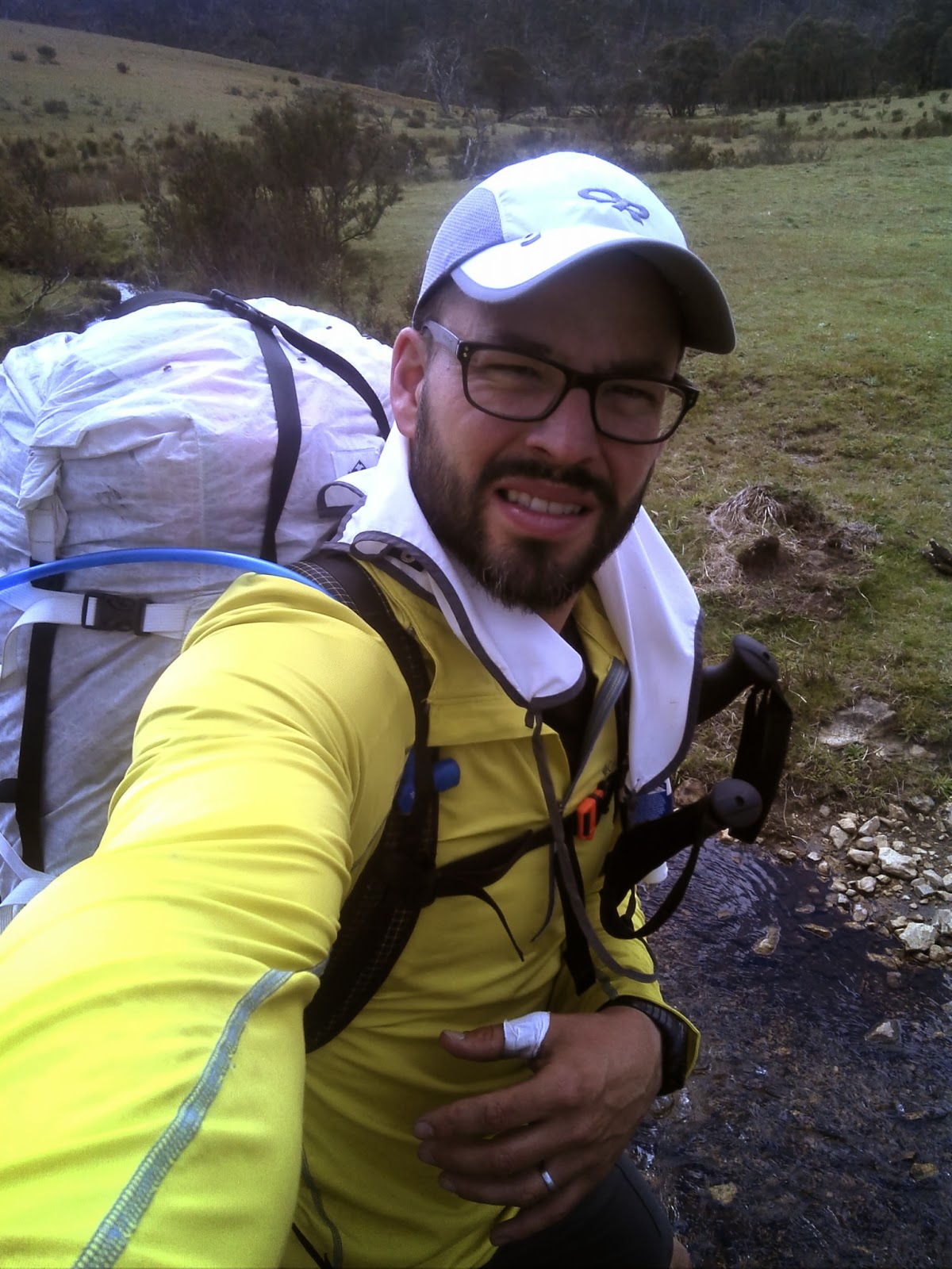
This also is the first opportunity I have had on the trail for someone to take a photo of me, no selfies tonight!  


Face starting to thin out and the beard is starting to show

Whilst the sun tried to shine though for most of the afternoon it could stop the hourly 15minutes of rain that would stop any drying progress that was achieved.  The fence in the background of the above photo had all the clothes draped across it.  It would rain and we would all scatter to get the gear out of the rain, and then repeat....all afternoon.  I had about 2 litres of water since arriving at camp and had 2 dinners as well as plenty of snack.  

I also decided to attend to my feet as we had a fire which meant I could burn the old smelly strapping.  I noticed that my right foot large toes had started to harden up behind the broken toes nail.  In the past I could just cut the toe nail and the dry fluid and be all good, this time was different.  I set up my first aid gear on the concrete floor of the toilet block during one of the rain showers.  I cut the toes nail....... SPLAT.  The fluid behind the nail had not hardened so instead it blows up all over the toilet block.  i can see behind my toe nail, its just empty space.  I take out my medical scissors and can place then behind the nail it is such a large gap.  I am definitely going to lose this toe nail.  I taped it in place for now and completed the rest of the dressings and then went to bed as I was a little freaked out in general at the condition of my foot.  The toes issue as well as the general smell of the rotting skin on the bottom of my foot.


Day 13 - This morning I set out as usual at about 6am hoping to get some good km's in.  I really wanted to do a massive day as the guilt of stopping at 3:30pm was getting to me again.  I was lucky, I was able to pack up my gear before it started to rain heavily.  None the less all my clothes, both what I am wearing and whats in my bag are wet or at least damp.


One of the really big problems with walking by yourself is that if my eyes miss it there isn't some one else's pair to catch it.  So I am pretty stead in my bush walking pace at about 4.5 - 5kms per hour.  So the problem when I hit a road is that I just put my head down a move.  I really don't want to walk these roads, their is no adventure in them.  Of course the road pace is faster, so this morning as with a couple other times through out the whole trek I decide to walk about 3kms past my turn off junction!  I kick myself as I already feel I am behind because I stopped yesterday pretty early.  


As far as the junction goes, its an intersection of Four Mile Creek Track and Eight Mile loop track so a pretty large intersection.  Even when I have realised my error and doubled back, I still cannot find the trail.  i have a little walk down Kelly's Track for the optional junction point but can't find that one either.  So back to the main intersection....after looking high and low for an entry point into the scrub I just crack it and bash my way into the bush.  About 5 metres into the scrub is a perfectly manicured trail to follow.  It was just the entry that had overgrown.  So I follow Eight Mile Loop track along the ridge and then down to Gill creek.  This was all pretty manageable with no surprises.


Gill Creek crossing

So once I have crossed Gill Creek all I can think about is that at the top of this long climb in Omeo Highway and my next food drop.  Its still raining and miserable out and its about 4:30pm when i reach the Omeo highway.  I'm sure it has dropped 5 degrees in the last hour.  As you can see I'm stoked to reach the road and the drop.  I am soaked, I only have jocks and undershirt on under my rain gear.  I just don't want to stop to throw more damp clothes on so I just get to the drop and rip it open.


Its starting rain pretty heavy as I open the drums containing my food drop so again I just pull out the black garbage bag liner and shove it in the pack, top up my fuel and water and as I do so a 4X4 comes down the Mt Willis track where I'm about to hike up.  He asks if I'm okay.  I thought i gotta get his attention with my answer so he gives me a chop out here.  My answer " yeah just getting my food out of the ground!" That was enough to get him out of the truck.  We spoke about the AAWT and not only did Peter give me a ride about 3kms up to the track junction be he took my buckets as well.  What was priceless was his local knowledge about the general Sunnyside area.  As we drove he pointed out historical stuff like the cricket oval.  I was so cold that as I was talking with him my voice was shaking and my teeth were trying to chatter.  So I hop out at the junction, take a photo for the blog so I can give credit and grab my pack off the back of the truck. 


OH NO!  Can't believe it.  I rushed around so much to not hold Peter up that I forgot my walking poles at the food drop.  Peter then turn into a knight in shining armour and drives the truck back down and lets me grab my poles, then drives me back up again!  Legend.

So freezing cold I climb up to Mt Willis over the next hour or so in freezing conditions and rain.  I none the less took a second to get a couple summit shots. And let me tell you how happy I am to finally see Mt Willis hut.


Mt Willis hut


So I get inside and i'm absolutely shattered.  usually in the huts the last person to have stayed would leave some dry timber for the next group.  There was no timber for the fire inside this hut.  I can tell you I looked up who was the last to sign the hut log book....... I won't say who it was as I know them.  So for 45 minutes I sat in wet clothes in a freezing cold hut trying to dry out fire wood that I had to source from outside in the rain.  I burnt the pages out of John Chapman's book, letters from home pages out of my journal.  It took everything I had to get this thing started.  Finally I did and was able to set up a series of clothes lines across the room to dry all my gear out.  

I took no photos tonight, it was all business.

I definitely considered this hut stay an emergency.  I ate well as I had way more food than I needed once again.  Also in this bucket were new letters from the family so by the time I was jumping into bed I was feeling pretty encouraged by my family, but I was feeling pretty ill.   The cold and the massive effort to get here has really taken a notch out of me.  Tomorrow is going to also be a relatively short day if I decide to proceed as I would only go to  Cleve Cole hut which is about 12kms.  At this stage, I think I am going to have to take a rest day.  Not feeling good.


Sunday, 26 January 2014

2013 Achieved itinerary - Australian Alps Walking Track

So prior to departing had posted the schedule of what we had hoped to achieve.  We used schedules provided online by others who had previously done the end to end journey as a guide and just modified things a little to our expectations.

In the end this became a Solo mission and the end result was this below itinerary;

start Finish Kms
Day 1 Namadgi Sawpit Creek 32kms
Day 2 Sawpit Creek Bill Jones Hut 29kms
Day 3 Bill Jones Hut Witzes Hut 33kms
Day 4 Witzes Hut Happys Hut 33kms
Day 5 Happys Hut Grey Mare Hut 39kms
Day 6 Grey Mare Hut Mt Tate 24kms
Day 7 Mt Tate Thredbo YHA 22kms
Day 8 REST DAY REST DAY 0kms
Day 9 Thredbo YHA Cowombat flat 46kms
Day 10 Cowombat flat Smoke Oh Creek 24kms
Day 11 Smoke Oh Creek Johnnies Top 35kms
Day 12 Johnnies Top Taylors Crossing 24kms
Day 13 Taylors Crossing Mt Willis Hut 26kms
Day 14 Mt Willis Hut Cleve Cole Hut 18kms
Day 15 Cleve Cole Hut Dibbins Hut 40kms
Day 16 Dibbins Hut Mt Hotham Store 9kms
Day 17 REST DAY REST DAY 0kms
Day 18 Mt Hotham Store Mt Selwyn Rd 33kms
Day 19 Mt Selwyn Rd Catherine Saddle 28kms
Day 20 Catherine Saddle Vallejo Gunther Hut 12kms
Day 21 Vallejo Gunther Hut Barkly River East 28kms
Day 22 Barkly River East Rumpff Saddle 28kms
Day 23 Rumpff Saddle Black River 15kms
Day 24 Black River Jordan River 35kms
Day 25 Jordan River Stronachs Camp 12kms
Day 26 Stronachs Camp Talbot Hut Site 21kms
Day 27 Talbot Hut Site O'sheas Mill 12kms
Day 28 O'sheas Mill Walhalla 13kms


I also want to mention that I was not racing to do the hike as fast as I could, rather I was just out enjoying myself.  As I was Solo I was able to hike when i wanted to hike and chill out when i wanted to chill out.  I don't like chilling out!  The last 6 - 7 days were lighter days kms wise as I was slowing down so I could meet my Wife at Mt Erica car park at noon on the wednesday.  This was the only suitable time for us to meet.  Massive thank you again to Tim for driving Megan out there and then the next day driving out again, bringing my kids with him.

Friday, 24 January 2014

Days 11 - Australian Alps Walking Track

I have awoken this morning full of gratitude.

Anyone who takes on a long distance through hike will know they will be journeying through all types of weather conditions.  The Australian Alps at any time of the year can serve up 4 seasons in a day.  Although I am prepared for all weather conditions it doesn't necessarily mean I am willingly looking for bad weather.  For the past 2 nights, I have set up camp, prepared and eaten dinner, washed up and planned for the next day before preparing to sleep.  Just as I close my eyes for the night, the rain comes down!

I am grateful that it is raining once I no longer need to be outdoors!

Last night marks a momentous occasion for me as well.  Never in my life have I pee'd in a bottle, till this night.  I wasn't going to go out in the rain so I thought to myself I can always just use one of my 2 water bottles from this point in my trip as a night time urinal.  Worked a treat once I worked out how to position myself in the tent so as not to spill!  I'd then just leave it out side the tent in the rain to keep it clean.

I became very lazy with this process as my travels continued.  It no longer needed to be raining out for me to use the indoor urinal bottle!  I never left my tent in the middle of the night for the rest of the Australian Alps Walking track.


The Smoke Oh Camp area is just the path widening enough for the tent


So about 8am I left Smoke Oh Creek with the hope of making either Beunba Flats or maybe even Johnnies Top.  So whats this falling from the sky about an hour into the day but my first snow storm.  It was really enjoyable actually despite the name of the trail being "Misery Trail"!  Was really nice to see the snow falling through the trees.

Having made my way out to Buckwong track and had a morning snack under the porch roof of Buckwong Hut.  Shortly after I came across 1 of 17 groups from Melbourne Grammar hiking through the area.  I had a brief chat with them and then continued on my way as I knew within hours I would have my next food drop.  Unfortunately the snow has now turned to rain so by the time I trek down Mt Hope Road to my food drop I am drenched.  I pull the buckets out of the hole they are in, everything now just mud and pull out the black garbage bag with my food in it.  I quickly look through Tims bucket to see if he has anything I want to swap in, grab a fresh pair of Tim jocks and his socks ( I didn't have any in this drop as I was doing fresh gear every other drop) and then just kept moving.  This was probably the heaviest I have been on the hike so far as I know I have way too much food with me even if I were on my slower schedule.

So being heavy and wet and muddy I hussled my way along to the Buenba Flats expecting to probably call it an afternoon.  It was about 4:30pm when I made it to the second gate and sat down with another ground from Melbourne Grammar.  A couple of the guides shared some fresh strawberries and a recent Herald Sun newspaper with me.  Chris was one of the guides, he was very interested in Hyperlite Mountain Gear and we chatted for about 20minutes about Cuben fibre and the stuff I was using.  He mentioned that this station set up for them was for the students to do a solo overnight sleep out and that they were scattered all over the general ridge line.  I thought cool, but also I should probably keep moving and try to make Johnnies Top.


Looking West towards corner creek


I set out towards the western end, corner creek end of the flats.  This whole area was a marshy wetland that was difficult to follow at times as the trail is interrupted my the creek so often.  That being said as you can clearly make out that the mountains around you are guiding you into a corner it is more a matter of how easy the trail could be if you were on it.  Its never really a matter of being lost.

Having made it to the the junction where the trail now climbs It is now about 6pm when I start climbing.  Its actually pretty steep and my pack if fully loaded so i am finding it hard going.  The fact that I had stumbled into the creek a couple times so my boots were bogged, including being rained on all day I was cranky and tired.  It took me ages to climb Johnnies Top.  I had to get my head torch out for the last 20 minutes coming into Johnnies as it had gotten dark earlier in this weather.  Worked really well actually as all the AAWT or Great Alpine Walk signs are all traced in some hi-visibility reflectors so the shone in the torch light.


I took photos later in the evening when the fog was really thick and rainy but its just a blur shot...you can't really make much out...but this is about an hour before I made camp.

At 8:15pm when I got to camp it was blowing an absolute storm.  I barely made out the water tank when I walking about 5m in front of it.  I was freeing cold because of how long I had been wet....all day and really struggled to get my tent set up.  Was again really happy with my Echo II from Hyperlite Mountain gear as the first part of the shelter to go up is the outer tarp.  This enables me to get all my gear out of the rain and blowing winds and protect all my items that I need for the night but want to keep dry....my thermals, sleeping bag etc.

So by the time I had set up camp, took off all my wet gear at the entry including the wet medical supplies taped to my feet, it was 9pm.  I took my time to get dressed into warm dry gear and re-do the medical treatments on my feet.  Although I was wasted from a long wet day, I still struggled to get to sleep.   It was so wet foggy and blowing an absolute storm outside that my exhausted brain was a little freaked.  I kept going through check lists.  Have I kept my wets away from my dry's, have I pegged the tent really well, am I positioned away from possible falling trees, am I on too much of a slope, I know I am pitched right on the trail to stay away from trees but it is an old 4x4 track....what if an emergency vehicle needs to get through in the middle of the night....and so on and so forth.  Eventually fell asleep to thoughts of my wife and kids.


Saturday, 18 January 2014

Australian Alps Walking Track - Day 9 and 10

Back to the bush! Having spoken with Hayden and Dave the night before I was full of energy this morning.  They had mentioned that they didn't think they would see me again and had expected me to be much further down the track by now.  To be honest, parts of me agreed.

I woke at 5am having had a great sleep.  Seriously, the beds at the YHA Thredbo are so comfortable.  My pack was easier to organised this morning as I have posted about 1.2kg of gear ( my broken Katadyn Water Filter, my hiking shorts that were way too big by now, spare batteries and my book lamp).  I left the YHA about 6am and walked along the roadside to the start of the trail start ( Cascade Trail)


Thredbo River


Having had the day off yesterday I felt like really pushing some pace.  I none the less wanted to stop in at the huts along the way to sign the logbooks and to check them out in general.  So I just put my head down and with the excitement of heading back into the wilderness just hiked.  Before I knew it I came across another hiker walking in the same direction....I ran him down to chat for a while.  HIs name was Matt and we had crossed on the other side of Kosciuszko a couple days ago.  He is one of the leaders of the school group I had passed.  He said they were camping at Cascade hut and were going onto Tin mine hut.  I said he must be wrong as we were yet get to Cascade Hut!   He informed me I passed it about 3km's ago!  So that means I was walking at about 9km an hour.  Although I was disappointed about missing the hut I was pretty excited that I had put in the km's.  I started pushing harder and harder.  I stopped by Tin Mine Hut on the way past and had a snack.


The whole day I came across brumbies and a couple deer.  Also came across a couple groups of hikers who all wished me well.  So I came into Cowombat Flat about 4:30pm and set up camp.  So for those that know and those that don't know the trail, Cowombat flat is 42 kms from the trail head of Cascade trail and the YHA at Thredbo is about 4km of road walking from there so in a 10.5hr day I totalled 46km's.  This was my biggest km day of the entire journey.  Of course I had to take the customary photo of crossing the MurrayRiver before having dinner and going to bed.  


Hard to take a selfie crossing the Murray, was a little wider than the photos I had seen,


So Day 10 was really enjoyable for me personally.  Being really pleased with the progress of yesterday I just really enjoyed myself today.  I came across a wild cat that took off pretty quick as soon as it realised we were walking the same stretch.  I was also really surprised with the Brumbies today, they were all really short!  They weren't babies like I had seen in the bunches of Brumbies on previous days but rather stalky mature horses!  Really strange.  There was 1 black brumby that took like an hour to work out that if he walking on the trail, eventually I would catch up to him again.

I really enjoyed the Limestone Creek area. It reminded me of the mountains I grew up hiking in Vermont, USA with my family.  I just got swept away in enjoyment today.  I decided to make camp early today - Smoko Creek at about 3:30pm.  The next camp was a good climb and 12kms away.  It gave me a chance to dump 3 days worth of food and take some time to eat some extra meals and hot chocolates.  Because I am travelling much faster than my itinerary I am constantly carrying more food than I actually need.  Strange how throwing away food really makes you feel accomplished.  I had packed that food because I thought I'd need it, then to not need it was really motivating.

Did I mention it was raining all day!  Not heavy so no big deal.  First sign of bad weather so far on my AAWT adventure.


Saturday, 4 January 2014

Day 7 & 8 - Australian Alps Walking Track


What a morning.  Having awoken with the sun on the summit of Mt Tate with the knowledge that today I would reach Thredbo Ski Village and have a shower and a fresh made meal, I was jumping out of my skin to get moving.  The views are amazing this morning.  I really felt like I was in a very special part of the Australian wilderness.


Typical trail conditions near Mt Tate

I'm finding really difficult to write about day 7 as the whole day was so scenic and wonderful.  I think I might just put a whole bunch of photos up with captions and leave story telling out of this post.


Typical views for today

The Sentinal just over my right shoulder tough to get a selfie with the Peak!


Snow peaks


Views To Mt Kosciuszko 

Mt Kosciuszko - Highest Peak in Australia

This young lady brought a pet Kangaroo up the mountain 6.5km boardwalk trek from Thredbo


Having climbed up and down Mt kosciuszko with the groups of tourists I made my way down to the chairlift and had a fresh chicken wrap and coke at Black Bettys Cafe on the mountain.  I spoke with a couple of people about what I was doing and most were more impressed with my wife allowing me to go away for  month whilst she stayed home and cared for our 3 children.  I then took the chairlift down to Thredbo village and made my way to the Thredbo YHA. https://www.facebook.com/ThredboYHA

The YHA were storing my food drop as well so on so many levels I was excited to be there.  My right foot was now a bloody and blistered stump.  I hobbled around organising myself to do my laundry and have a shower.  With both organised I then had a pleasant surprise.  When Tim and I had dropped our food drop to the YHA a month earlier they mentioned we were the second group of the year to leave a drop with them.  Jochen Spencer was walking south to north and we expected we would cross his path at some point.  With both Jochen and myself ahead of our own schedules we ended up sharing a room at the YHA.  I had not met Jochen before but when he walked into the YHA I knew straight away it was him.  At first he probably thought I worked there as I helped him get his pack to the ground and addressed him by name.  Jochen is a great photographer and I encourage everyone to checkout his site http://www.atraxarta.com.au/


Jochen and I spent the next day exchanging track notes and ideas and had a couple good meals together.  In relation to the YHA facilities, really great.  Good size rooms, great common areas to relax and recover and a massive share kitchen.  To be honest I think the first night I may have insulted Jochen, I ended up not sleeping in our room.  Travelling around a lot through life you end up being a couch connoisseur and let me tell you its been years since I slept on such a comfortable couch.  Top notch.  I awake the next morning with about 18 other guest eating breakfast just across from me.  They were good sports!  


TEAM THREDBO YHA

I had missed the pharmacy on day 1 at Thredbo so early the next morning I headed down to the pharmacy.  The lovely lady advised me on my injuries and sold me $121 worth of medical supplies and told me to take 3-4 days off.  I took 1 extra night off and then kept going.  This meant I got to have a second pub meal at the local.  The next day I was full of energy and I believe it was from 2 pub meals 2 nighst in a row.  While having my meal I came across David and Hayden from night 3, we trade our stories briefly.  I could see that they were disappointed to see me, they expected me to be well on my way to Hotham by now.  The next day I made up for it!


One of the feet blisters...blister on a blister on a blister!

Saturday, 28 December 2013

Day 5 and 6 - Australian Alps Walking Track


Another cold night, this time Happy's Hut style it has become pretty easy to wake up with the sun at 5:30 to 6 am.  As I had plenty of food now I decided to have a double serve of quick oats and 2 hot chocolates to start me off.  Was funny to see the kettle of water I left out over night with 3mm of ice layering the top.

Despite my early rising time it took me about 2 hours to get out of the hut and start walking again.  At the food drop I had picked up letters which my wife and children had written me for fathers day.  I was meant to read 1 per day but as I was having a long breakfast I read all of them.  Some were drawings or letters from my kids, others were motivational print offs my wife selected for me.


I was so relaxed once I did get on the trail that I neglected to keep an eye out for the Grey Mare trail junction and instead I followed Tolbar to Jacks Rd which added about 3 km to my day.  From Jacks onto Grey Mare Trail.  Once on the trail I enjoyed my morning with very little obstacles.  I kept thinking about how much extra food I was carrying and what I should dispose of, so once I arrived at MacKay's Hut i was pretty certain it was a good time to drop weight.  Hayden and Dave would no doubt be coming through and maybe even sleeping here tonight so I decided to leave them a little gift which I hoped would lift their spirits and I knew would lighten my pack.


Shortly after I had left MacKay's Hut I cam across Peter & Lee.  They often do short sections they tell me to keep active.  They also warned me about a dingo dying on the side of the road about 1km ahead of me.  They didn't want it to startle me.  We had a brief chat about my plans for the day and they warned me that Mt Jagungal would take me all afternoon if I were to attempt it and still hope to get onto Grey Mare Hut tonight I would be out real late.  I took what they said on board and started preparing myself for a long evenings hike.   


Sur enough I came across the dingo lying on the side of the road, dead.  Or was he!  A couple hundred metres up the trail a Ranger truck came past and I told them about the dead dingo, not sure if they clear them of the trail. There response was memorable " Your not talking about that one are you!" and they point back along the trail from where I just came.  Sure enough, there was my dingo walking down the trail.  Funny.

As I continued I could see Mt Jagungal getting ever closer.  I was getting pretty excited to start climbing as its been flat most of the day.  I continually checked John Chapman's book to see where the entry to the side trip over Jagungal started and as I got a couple km's from the junction I had this crazy urgent need to use the bush toilet.  As a teenager I would call it a pre-game toilet stop.  I dropped my pack and urgently located my toiletry bag, raced into some scrub and ....well you get it.  Here is the trouble.... just as I started I realise that I already have hundreds of ants all over my legs and by the time I rush to finish i must have had 1000 ants all over me.  I raced back to my pack to discover it to was being ant encrusted.  They were nipping at me, legs, chest, neck.  I scrapped them and smacked them off me and my pack and got out of there.  I would get a reminder nip every 10 minutes or so for the next 2 hours just to let me know I hadn't swatted them all.  This really shook my concentration and resolve and now I just wanted to reach camp.  I stopped at O'Keefe's Hut to gather my thoughts and decided the ants were a sign I should press through to Grey Mare camp without my side trip over Mt Jagungal.


Mt Jagungal


Internal walls of O'Keefe's Hut lined with old newspaper

The rest of the afternoon was basically straight & flat.  As you follow the trail you are travelling aroung Mt Jagungal so all afternoon the fact that I didn't climb it was haunting me.  As the afternoon wore on I was crossing more small creeks and streams.  I found I could jump or walk across rocks to that I didn't have to take off my boots.  About 5pm I was broken, my feet were so swollen they were just raw stumps.  The blisters were irritated and to be honest I was just cooked.  My legs were jelly and I had no energy.  It took me another hour before I arrived at Grey Mare Hut which is tuck on a nice hillside that normally I would find appealing but as I was a worn out stump it killed me to get up to the hut.


I prepared dinner but could barely eat it.  I was so warn out my insides were cramping with every swallow of food.  None the less I knew I need the food so I kept eating.  My feet were throbbing and I think a little infected, they were on fire and felt like they were going to split open.  I set up my bed and had a fire but I stumbled around in the bush trying to find water with no luck so that leaves me with about 200ml to get me through the night.  This was my first really hard night.  I was thirsty and had leg cramps most of the night.  What was nice was that the hut had a number of bunk beds, one which is right under the window.  This is where I slept, watching the stars at night and waking with the sun in the morning.


November 6, 2013 (DAY 6) I woke having had the best nights sleep, not only since being on the trail but for months.  In the preparation for the hike I worked long hours to make sure every other part of life was well and truly organised prior to my departure, of course I would also think about the hike and preparations and be unable to sleep.  I really felt I had pushed too hard the day before so this morning I told myself chill out and enjoy.  I also feel that because I kept my boots on yesterday all day that my feet didn't get the cold refreshing reset of a water/creek crossing.  So within the first 2 hours of the day I must have had 7 water crossings and I took my time through all of them virtually freezing my feet providing a great relief from the previous days pains.  

Following Valentine's Trail I soon came across some more Australian wildlife.  Walking on the trail in the same direction I was travelling is the massive wild pig.  Its back was about 1.2m off the ground and was about 2m long.  Here is how the next 4 minutes of the hike went.  


See the Pig, Took the photo from a distance prior to yelling at it!


Step 1 - I yell at Pig    Step 2 -  Pig runs really fast towards me   Step 3 - I scream like a school girl   Step 4 - Pig jumps into the scrub but stops and waits for me just 1-2m off the trail, I think it was my girly scream....it didn't know what to do either!   Step 5, I wish I had on video as it would have been hilarious.  I checked my boots were tied tight, made sure all my straps on my Pack were tight and holding my gear snug against me.   I slowly creeped closer to the point where I believed he left the trail........then I set the Olympic record for Backpack sprinting.  My arms were pumping my feet barely touched the ground before leaping into my next stride.  I have never ran with sprinting precision as I did just then.  I got about 300m down the trail and decided to look back.  There was no chase, I think it was still trying to work out if that girly scream came from me!  Anyways, I crossed Valentine creek and climbed up to Valentine's Hut.  I definitely will spend a Valentine's here with my wife in the coming years.


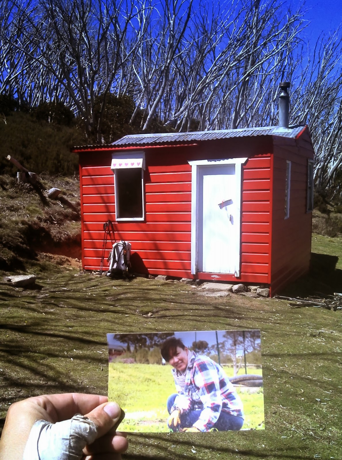
Picture of my wife ( Valentine's Hut)


I signed the log book as standard every hut I have gone past and pressed on after a quick snack.  I came across a couple norwegian backpackers that had come from Schlink Hut and were staying at Valentine's that night.  I myself press on to Schlink Hut where I had a nice long lunch, a water top up and a general chill out.  Continuing on the trail I soon came across Whites River Hut which was to be my camp for the night but as it was only 3pm I decided to instead push onto Anton Anderson saddle.  So from Whites River hut the track is unmarked.  Nothing to follow.  So I started off and for the first time could see snow in my track, so I raced off and wrote my wife & kids initials and just started to climb everything I was coming across.  All day the local helicopter tours were flying over head, as I was in the Mt Kosciuszko area tours fly out all the time to show tourist the mountains I was climbing and huts I was visiting.


After about an hour I realised I had been having a little fun and not really following any type of navigation guides so i decided to climb the tallest peak I could see and get out the maps.  Took me about 15 minutes to work out I had walked virtually back on myself and had not achieved any distance since leaving Whites River Hut.  I could almost see back down the Schlink hut.  That being said I could see the snow covered peaks of Mt Kosciuszko which was a great marker.  From there I could identify Mt Tate which I needed to get over in order to make my way to camp.  So I set off, part hiking, part bouldering the large outcrops of granite.


As I feel I am back on track I set my targets on another mountain pass which I believe will take me towards Mt Tate.  As I got to the top of this ridge I could see a river system in the valley below.  I got out the maps and assessed that I needed to actually be on the opposite ridge to where I was.  I was shattered but knew sitting around wouldn't get me to camp so I climbed down into the valley and up the crazy steep other side.   Once I reached the upper peaks of this new ridge system I looked at the maps again, in the valley I crossed a very unique shape in the river so I wanted to confirm to myself that again I was on the best route.  SHATTERED, I should have stayed on the ridge I was first on which is the eats ridge described in Chapman's book.  I have now crossed to the West ridge.  Although shattered that all the effort was for nothing I at least could see the consolation prize.... both ridges lead to Mt Tate.

Anyways, it was difficult but by about 7pm I had arrived at Mt Tate and decided that the shelter of the rocky outcrop of the summit of Mt Tate was the best campsite I could come up with this late at night.  As there was no trail I didn't want to be walking in the dark on these summits after the day I had.  I set up my HMG Echo II shelter, chucked all my gear in, got a couple happy snaps then climbed in for the night.  It was freezing cold and I was really beaten up.  A couple positives was that all this off track trekking was great on my feet.  Nice and soft under my foot tread unlike the 4x4 trails of the past couple days.  I also had phone reception for the first time, Optus!  Knowing I would reach Thredbo tomorrow and could recharge my phone I spent the next 2 hours talking to my wife, family and friends.  With my voice shivering from the cold I told my stories and reassured my loved ones that my Solo adventure was no riskier than in a pair.  It was about 10:30pm before I got around to eating dinner and then off to bed.  I wore my IceBreaker thermals to bed, used my silk liner in my sleeping bag as well.  Nice and warm all night and had a really good sleep considering I was on a slight angle towards the bottom on my tent.


Friday, 13 December 2013

AAWT - Day 3 and 4

Last time we joined our intrepid adventurer he had wandered off into the afternoon sun.  With the wind at his back and a heavy heart he marched onwards only looking back for a brief moment to fairwell the landscape he had thus far conquered!  (Please read the above line with a deep tone and partially sarcastic American accent, like the narrator of the old Batman cartoons)

So let me take a moment to be honest, gain some perspective and bring everyone into the picture on how I'm feeling just about this point of the hike.

Firstly, I have never spent even 1 night alone camping or hiking before and I have never hiked or camped for more than 3 - 4 days at a time.   A lot of planning goes into these long distance treks, but how was I to know that my preparations were enough.  Do I have the ability to see this to it End.

I have not used a compass in 15 years and as far as being fluent in its use, I am not.  Yes setting a heading for South and walking there is self explanatory, but unfurling a map and understanding how to calculate the coordinates of where I am or want to go and being able to say in an emergency supply those to a third party.  No sir.  At this point, this is weighing on my mind.

Also, in general terms, you only have to ask me for a ride somewhere by car to know that my general orientation is poor.  The number of times I have driven the same route 5 or 6 times with the same friends only to continually make the wrong turns.  This is also weighing on my mind.

I am fairly immature.   True there are so many facets of my life which are mature and I deal with them with maturity but when you really look at me I am selfish and spoilt.  The result is that at times once the adrenalin has warn off my desire or ambition does too.  This was not the feeling I was having right about now however.  From the moment I got on the bus, till this moment in time and right up to my arrival at Walhalla, I knew I was going to finish my first End2End journey.


So I am now on a Solo mission.  About 2km after leaving Tim the trail leaves the road and heads off on a section of undefined track.  This was the first time on the AAWT that you are not on a clearly defined trail of some description and of course it so happens to be on the afternoon when I have wandered off on my own.

To be honest the sweeping valley was a really nice walk, soft under foot and regardless of the lack of track it was really easy to follow the old telegraph poles and then see that across the valley was a creek system where the trail ascends and then descends to the Murrumbidgee River.  So I just picked that reference point and went.  I also took the chance n the Murrumbidgee to have a quick splash bath to freshen up a little.  

I also came across some devoted campers/fisherman from Bendigo who drove out to this remote spot for a good old fish.  It was a remote valley and I was very surprised to see them set up.


Once again the trail continues along a four wheel drive track which is really road standard.  I follow this track until about 5:30pm when I arrive at Whitses hut.  I can see from a distance that Hayden and Dave are collecting fire wood for the cold night ahead but also to keep with god hut etiquette of leaving the place in a better condition ( with more firewood as well) then when you arrived.  I figured I'd warn them that I'm a little crazy so I yelled out " hope you guys have got the fire started."  I'm pretty sure they both went in side the hut at that stage!

Whitses Hut is a basic hut made of timber planks, which I assume at one time actually touch each other to create a wall which would stop the weather from entering.  These days those timbers have shrunk apparently so every breeze and every degree of cold is felt in its entirety.  Sleeping in a tent would definitely be warmer.

So just to clarify, these huts are part of the Australian Story, history and are preserved for emergency use only.  I considered companionship an emergency this night and all 3 of us stayed on the floor of the hut.  Again, that night and in the morning making sure that the hut was kept and cleaned to make sure our consciences were okay with this unique indulgence.


We talked till dark, comparing gear, food and our experiences so far and our plans for the balance of the journey.  Dave and Hayden were taking a slightly different route, they were leaving the AAWT at Mt Hotham in about 17 days time or so and going over Mt Feathertop then down to Bright, VIC.  Dave and I both at this stage had massive blisters on the bottom of our feet across the front foot tread and they had mentioned that they were getting concerned about where they had sufficient food.  I knew that from tomorrow morning I was going to have both Tim's food drop as well as my own plus the extra food I was already carrying.  I didn't dump the food as part of me kept saying this will get harder or I would hit a road block and need the extra food.  I was grateful for Hayden and Dave.  I knew they were half a day ahead of me, so Tim was able to tell my family at home that I was not alone but now walking with to hikers I met the night after his departure.  It would give peace to my wife, kids and parents.

I always knew I would keep on trekking solo but the story would be received as comfort back home.

Another honest truth is that I like to impress people.  I have a competitive nature.  So I knew Day 4 I was going to go out hard so that as the news got back to friends and family they would see that although my plans had changed into a solo trek, I was thriving on this new reality not dwelling on it.

Day 4 started about 6am with the sun rise.  A bitterly frosty morning which I had this overwhelming excitement about.  Having gone through what was starting to become a well organised morning routine of breakfast, pack, plan and go, I departed as soon as the tasks were complete.  Wasn't long when I came over a small crest and there to the West just beside the track was a mother brumby and her little baby.  I could tell they were warming in the morning sun, they let me get within about 20m before mum stood up and made a small sound and a nod of her head to her baby and they departed.  Up to this stage in the hike the closest a brumby had let me get was about 200m before running off.  All my photos were of these far off horses barely recognisable as such through my Garmin GPS' camera.


Brumby is a free-roaming feral horse in Australia. Although found in many areas around the country, the best-known brumbies are found in the Australian Alps region in south-eastern Australia.                                                                                             I also came across another large brumby walking in the opposite direction on the trail.  We were both surprised to see each other as neither of us moved.  after about 20 seconds he realised I could take him down and moved off!


It was about 10am when I crossed the Eucumbene River and arrived in Kiandra.  This felt like I had achieved a milestone.  Reaching my first food drop, and at least a day and a half ahead of schedule.  I allowed myself some time to relax as I dug out our food drops, I still opened Tim's and grabbed his treats and the treats we were sharing.  Filled up with fresh water we had kept in the drop as well.  I was a little unsure on how the next stage was going to so I brought the full 6 days rations and barely left any of my unused rations from being ahead of schedule.  So I got heavy!  Probably about 22kg's now which is not heavy physically but as I wanted to be light it was heavy mentally.

New track installed - hard under foot
I left Tim's bucket out for Hayden and Dave as I knew they would be past later that morning and would no doubt enjoy a top up if they could.

I set off on the well defined fire trail towards Table top mountain.  The local DSE (Department of Sustainability & Environment) has done some track maintenance to no doubt stop erosion of some description but let me say - it was a pig to walk on.  Large rocks are not great under foot.  I spent most of the time walking on the grass along side the trail.

I could see Tabletop Mountain off in the distance and it felt like it was all afternoon to finally get to the base of the mountain.  The AAWT doesn't actually go over tableTop but since this was one of the first real summit style mountains I had come across I was pretty happy to climb up to check out the views.


Once on the summit of TableTop I took a couple selfies while sitting n the rock chair.  I can also see the Koscioszko Mountain area with a number of snowy peaks in the distance.

Table Top Mountain 1784m

Checking out the view from TableTop


Once I had descended from TableTop I continued on the well defined track for 5km or so and then decided to take the undefined short cut down to Happy's Hut.  The alternative was to stay on the trail and walk and extra 2 km's or so to the well defined entry to Happy's Valley.  Happy's Hut is located just below the tree line in a sweeping valley.  Its a typical old hut, fireplace and small food preparation bench.  There are 2 old wire based beds, but to honest I used them to organise my gear not to sleep on, I didn't want them to deteriorate under my weight.  I was also really excited to see a camping chair to sit on.  I spent the night reading, checking my maps/schedule and writing in my journal.  It felt civilised.


Happy's Hut viewed as I came out of the Bush Bashing shortcut